
SLIEVEANORRA & ORRA SCENIC ROUTE
SLIEVEANORRA
+ ORRA SCENIC ROUTE

WE’VE PASSED HERE SO MANY TIMES…
…either on the way out to Cushendun on the coast, or heading down from Ballycastle and just seeing where unknown roads bring us.

And every time we end up on the Orra Scenic Drive - whether planned or by accident - it’s the same feeling: you’ve been transported to another [vast] country where there’s no other person for hundreds of miles.
The winding, narrow roads cut through open rolling hills. Patches of dense evergreen forest block the landscape and coastal views which normally give you a location bearing. And when the first snow of winter arrives, it becomes another world entirely.
This is the second part of a two-part adventure. If you haven’t already read it, check out 'Altnahinch Reservoir’ too, where we stopped earlier this day.
ORRA SCENIC DRIVE
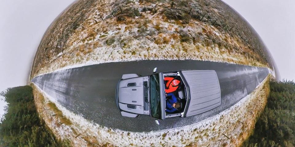
As we drove away from Altnahinch Reservoir and climbed a few more metres above sea level, the fog and snow cover got thicker….

With a wind chill of approx -5°C now, it made total sense (ha!) to remove a section of the Jeep’s roof and see how the snowy world looked on Mr Reid’s 360° camera.

Wait until you see the video at the end too :)
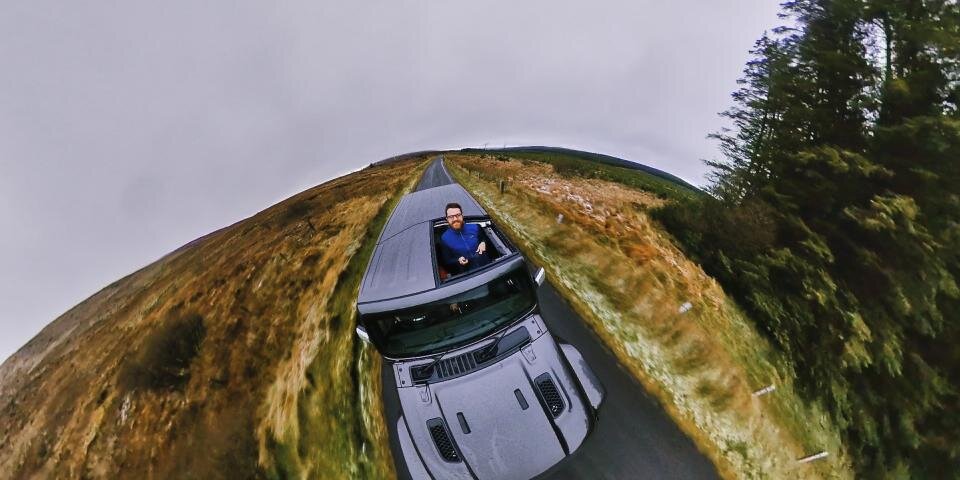
Less than five minutes of descending later, the slippy roads returned to normal and we were able to see more than a few metres in front again.
Crazy conditions and a reminder we’d definitely need those extra layers for the walk ahead of us.
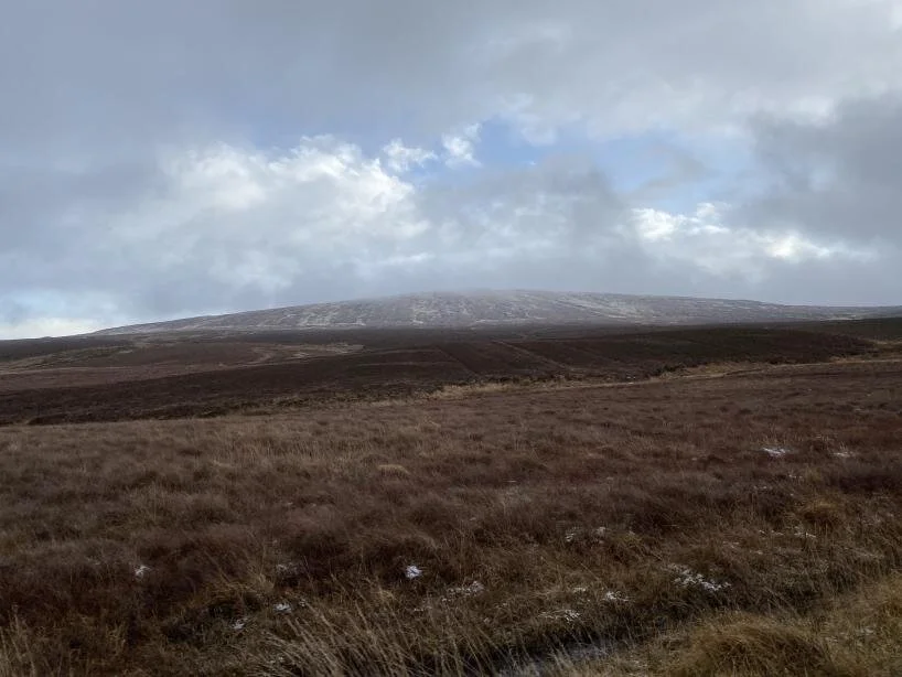
Our end-goal for today was the summit of Slieveanorra.
Given the weather we’d already encountered, we opted for the simplest, quickest route to the top of the mountain.
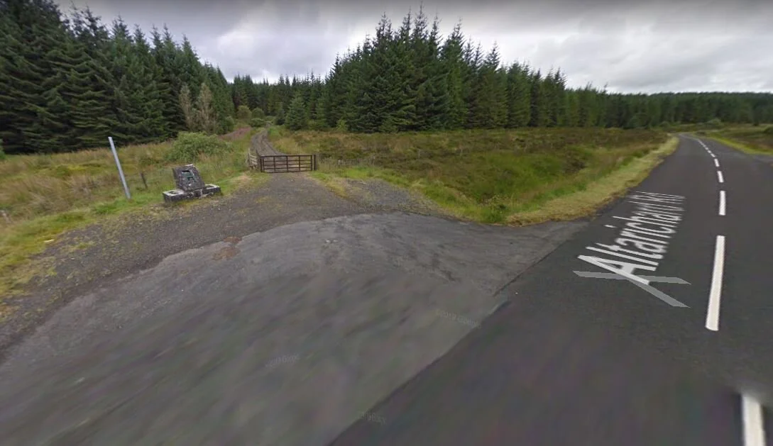
From Altnahinch Reservoir, we headed south along the Altnahinch Road, hugging the treeline to our left, round to the forest entrance on the Altarichard Road.


Source: Google Maps
Once we get a clear day again, we’ll come back and link to a proper feature of this incredible scenic route here.
SLIEVEANORRA
If you’re wondering how to pronounce it, you’re not alone. We called it about ten different names on the day.
A quick Google and there are several ways to spell it also - two of which we spotted on the walk up:
Slieve na Aura
Slieve na Orra
Slieve an Orra
Slieveanorra
Like many places, the name has evolved from it’s Irish origin. Sliabh an Earra, meaning ‘mountain of the ridge’.
So we’re going with “sleeve-a-norra'“.
Source: Google Maps
A bit like Altnahinch Reservoir, there’s only a small lay-by at the side of the road. Take care here, especially with dogs/kids and passing cars.
Heading round the metal gate, a gravel path brings you through the beautiful Slieveanorra Forest - which we’ve just read is apparently haunted, see here after.
Coming out onto the open mountain, you’ll snake upward to a height of 511m above sea level.
This is a fairly straightforward and gentle* walk, but with brilliant views. While Northern Ireland’s tallest mountain (Slieve Donard) in The Mournes is 850m above sea level; ;with Slieveanorra, the majority of the ascent is done in your car, getting to foreset gate.
Great!


*Note the word ‘gentle’ here - that applies when it’s not a gale force wind and -5°C wind chill like this day!
Best if you watch Stephen’s video of the day from here. You might want to hug a hot water bottle while you do…
Thanks for reading!

NI EXPLORER & JEEP >
LATEST NEWS & ADVENTURES 👇


